CARTOGRAPHIE DES SITES MINIERS ET IMPACTS DE L’EXPLOITATION MINIÈRE SUR LE COUVERT VÉGÉTAL ET LA CONVERSION DES TERRES AGRICOLES DE LA RÉGION DE L’ESTCAMEROUN Cas de Batouri, Ketté et Kentzou
Partager ce contenu
Vous devriez également aimer
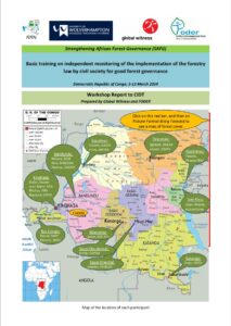
Basic training on independent monitoring of the implementation of the forestrylaw by civil society for good forest governance
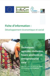
Fiche d’information : Développement économique et social